Are you looking for an engineering firm in Bergen County, NJ?
If you are in Bergen County, NJ and are looking for an engineering company that can help you with all the engineering activities and consultancy related to Site Plan, Surveying Services, Pool Grading Plan, etc. Then worry not Omland & Osterkorn, Inc is the right company for you to go to and get all your engineering and consultancy work done. The services provided by Omland & Osterkorn, Inc. are as follows:
Engineering Services
Site plans in Bergen County, NJ
No matter what the requirement is residential, commercial and municipal developments Omland & Osterkorn, Inc. are the right people to help with a complete site plan. The site designs are provided with best the best tools to measure the site’s topography, the elevation, stormwater and flood management and deciding the most appropriate placement for the various things a building would consist of. The best part is that the plan is rendered using the latest software technology because of which you can get a very clear picture of what to expect.Pool Grading Plan in Bergen County, NJ
Having a pool is a a luxury a lot of people wish to have, but a pool cannot just be constructed anywhere and everywhere; detailed planning goes into selecting the place, digging the property and constructing the pool. Omland & Osterkorn, Inc have a systematic method of devising a plan about where and how the pool can be constructed while they also ensure that everything is smooth from the legality point of view. Pools should be well built and the pool should be devoid of any threat from soil erosion, floods, and storms. Omland & Osterkorn, Inc ensures all of that.Surveying Services
- Title Surveys
- Boundary Surveys
- Topographic Surveys
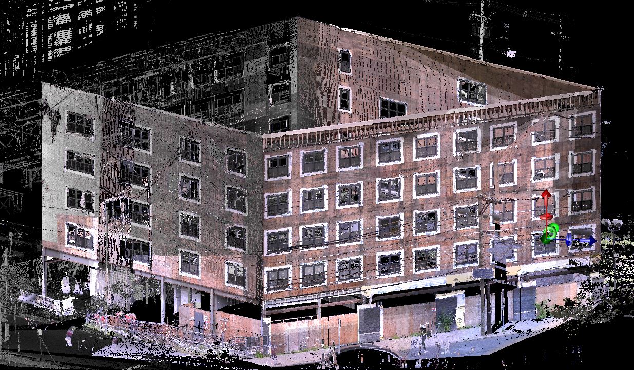
- Laser Scanning
- Elevation Certificate
- Property Surveys
- Property Line Surveys
- Fencing surveys
- Land Surveys

For more information about our engineering firm in Bergen County, NJ, speak to one of our engineers at 973-647-7820.